The National Weather Service (NWS) has issued a widespread Flood Watch for large portions of Texas, warning residents across the state to avoid travelling on certain roads as storms threaten to bring life-threatening flooding conditions.
Why It Matters
Flooding has been a leading weather-related cause of death in Texas, according to the National Safety Council.
The NWS has stressed the mantra, "Turn around, don't drown," stressing that most flood-related fatalities happen in vehicles.
What To Know
The alert urges caution through at least Friday afternoon in some parts of the state, with some areas likely to experience heavy rainfall totals exceeding several inches.
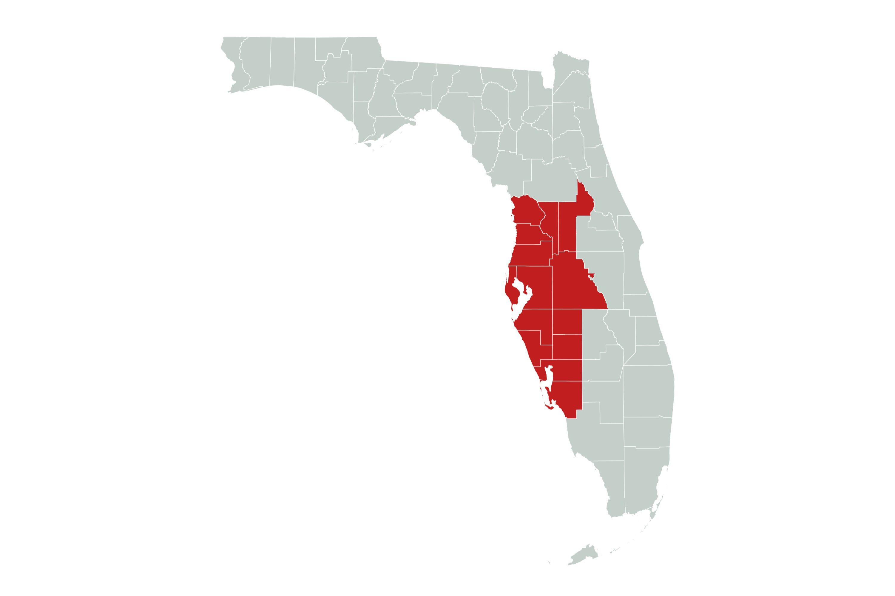
Southern and southeastern areas of the state are at risk of flooding and the service advises people in these regions to keep up to date on the latest forecasts.
Away from the roads, the NWS has also warned of potential damage to property due to the excessive rain.
According to the NWS, a slow-moving storm system is expected to bring prolonged periods of moderate to heavy rain to already saturated grounds. This significantly increases the risk of flash flooding, particularly in low-lying areas, creeks, rivers, and urban centers with poor drainage.
The agency has warned that drivers should not attempt to cross flooded roads—just a few inches of water can render a vehicle inoperable or sweep it away entirely. Motorists are urged to heed all road closure signs and take extra caution at night.
What People Are Saying
Meteorologist Tyler Roys told Newsweek: "The threat for flooding will come from drenching thunderstorms that will come out from the mountains in northern Mexico. Combine these storms and quite humid conditions for this time of the year, there can be a lot of rain.
"Given the dry conditions and that some areas could see upwards of eight inches of rain, flooding is likely because the ground will struggle to handle the rain. The flood risk ramps up on Wednesday then should subside Friday morning.
"Any flooding that does happen could linger into the weekend, especially along any bigger rivers. The area that could the most rain will be south of I-10 in central Texas, along and south of San Antonio, north of Corpus Christi and including the cities of Victoria and Laredo."
NWS Corpus Christi said on X, formerly Twitter: "If traveling through South Texas, ensure you give yourself plenty of buffer to reach your destination and obey road closure signs. Remember, Turn Around Don't Drown!"
What Happens Next
The public is advised to closely monitor local weather updates and alerts through the NWS website. Flood watches are not guarantees of flooding, but indicate conditions are favorable for such events.
fairness meter


About the writer
Joe Edwards is a Live News Reporter based in Newsweek's London Bureau. He covers topics related to weather, climate, and ... Read more